Reducing Speeds for Whales and Coastal Communities
Protecting Blue Whales and Blue Skies (BWBS) is a partnership between government agencies, foundations, research partners and environmental NGOs working to make our skies cleaner, and the ocean quieter and safer for whales. We accomplish this by:
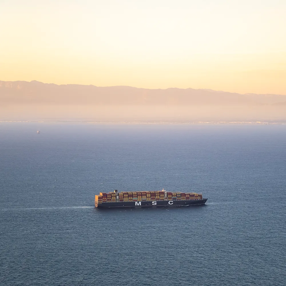
- Monitoring the speeds of vessels 300 GT (gross tons) and larger that pass through voluntary Vessel Speed Reduction ("VSR") zones established by NOAA each year where ships are encouraged to reduce speeds.
- Providing recognition to participating shipping companies with high cooperation rates for whale safer transits.
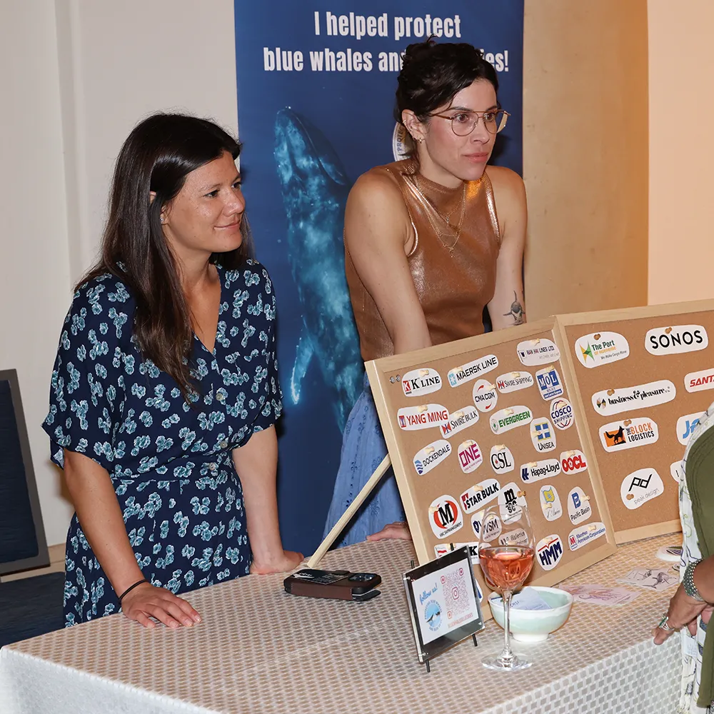
- Working with ambassadors to demonstrate demand for, and appreciation to shipping companies leading the way on responsible practices.
See the program in action
Meet The Team
BWBS is a collaborative partnership among federal and local government agencies, foundations, and environmental nonprofits, including the California Marine Sanctuary Foundation; Several California Air Quality Districts; National Marine Sanctuaries; and Benioff Ocean Science Laboratory.
-

Robert Mazurek
Executive Director, California Marine Sanctuary Foundation
Robert is the Executive Director of the California Marine Sanctuary Foundation. He has spent over two decades leading national and international efforts to strengthen ocean governance, enhance marine policy, and create resilient coasts. He has turned his life-long passion for ocean conservation into a career that has spanned the globe.
-

Jess Morten
Director of Marine Resource Protection, California Marine Sanctuary Foundation Affiliate, NOAA’s Office of National Marine Sanctuaries
Jessica (Jess) leads California Marine Sanctuary Foundation’s Marine Resource Protection Program and supports NOAA’s Office of National Marine Sanctuaries on west coast whale conservation efforts. Since 2016, Jess has played a key role in the Protecting Blue Whales and Blue Skies Program by coordinating program planning and implementation, leading communication and outreach efforts with the shipping industry, and wrangling data for cooperation and environmental benefits calculations. Contact: jessica.morten@noaa.gov
-

Rebecca Tucker
Director of Corporate Engagement, Blue Whales Blue Skies, California Marine Sanctuary Foundation
Becca is BWBS’ Corporate Engagement Director, advancing efforts to engage more companies and consumers on opportunities to ship more responsibly for marine biodiversity and coastal community protection. Becca is passionate about harnessing the power of the business community, and helping companies respond to demand for action around environmental protection. Becca holds a Master’s Degree in Environmental Science and Management from the University of Santa Barbara California’s Bren School, and a Bachelor’s Degree in History and Environmental Studies from Bowdoin College. Contact: becca@CaliforniaMSF.org
-
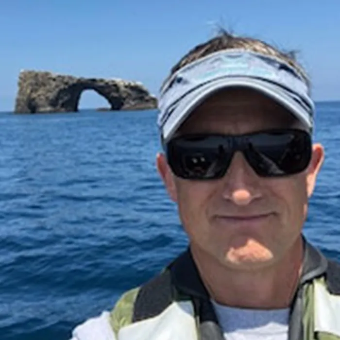
Sean Hastings
Policy, Management and Information Officer, Channel Islands National Marine Sanctuary National Oceanic and Atmospheric Administration
Sean joined NOAA’s Channel Islands National Marine Sanctuary in 1997 as the Policy, Management and Information Officer, and co-founded Protecting Blue Whales and Blue Skies (BWBS) in 2014. He has forged collaborative partnerships with academia, government agencies, non-government organizations, and ocean user groups to manage and protect ocean resources offshore California. Sean provides strategic guidance, policy development, and serves as a media liaison and chief cheerleader for the sanctuary and BWBS.
-

Danielle Alvarez
Marine Resource Protection Program Associate, California Marine Sanctuary Foundation Affiliate, NOAA’s Office of National Marine Sanctuaries
Danielle joined the BWBS team in 2024 as a member of the Marine Resource Protection Program at CMSF. She also supports NOAA’s Office of National Marine Sanctuaries on west coast whale conservation efforts. Danielle specializes in GIS data analysis and assists with BWBS program implementation and communication efforts.
-

Kelly Tseng
Marine Resource Protection Program Associate, California Marine Sanctuary Foundation
Kelly joined the BWBS team in 2025 as a Marine Resource Protection Program Associate at CMSF. She contributes to program coordination, data management, outreach and communications that support collaborative efforts of BWBS program.
Originally from Taiwan, Kelly is passionate about bridging science, policy, and community to advance marine conservation. She holds a Master of Advanced Studies in Marine Biodiversity and Conservation from the Scripps Institution of Oceanography at UC San Diego, and brings experience in whale conservation, coral reef monitoring, and biodiversity data management through her work with the Taiwan Cetacean Society, Reef Check Taiwan, and the National Biodiversity Office in Belize.
Meet Our Partners
-

Rachel Rhodes
Project Scientist, Benioff Ocean Science Laboratory
Rachel is the Whale Safe Project Lead at the Benioff Ocean Science Laboratory at UC Santa Barbara. Rachel is passionate about translating complex scientific data into actionable insights, and helping shipping companies reduce their impact on marine life. She supports the Blue Whales Blue Skies program by providing detailed reports for participating shipping companies on how their fleet is performing in the zones every month using vessel analytics and whale detections from the Whale Safe tool. Rachel holds a Master’s Degree in Environmental Science and Management from UC Santa Barbara’s Bren School. Contact: rachelrhodes@ucsb.edu.
-
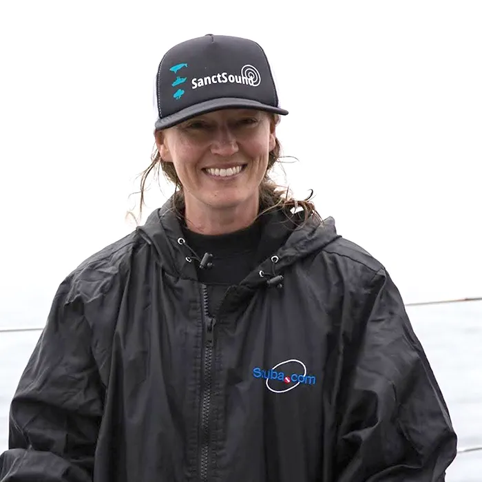
Dr. Lindsey Peavey Reeves
Soundscape Monitoring Coordinator, NOAA Office of National Marine Sanctuaries West Coast Region
Dr. Peavey Reeves works with a diverse and dynamic team of government, industry, NGO, private sector, and academic partners to continuously monitor broadband underwater sound across a large network of ocean observation stations in and around U.S. West Coast national marine sanctuaries. This effort includes integrating standardized soundscape and biological data products (e.g., whale presence and ship noise) into ecosystem-based research and conservation management programs (Blue Whales Blue Skies!), species recovery plans, and risk assessments. Contact: lindsey.peavey@noaa.gov
-

Dr. Vanessa ZoBell
Postdoctoral Researcher, Scripps Institution of Oceanography, University of California, San Diego
Dr. Vanessa ZoBell is a researcher at Scripps Institution of Oceanography specializing in acoustical oceanography. Her work focuses on reducing noise pollution from commercial vessels using data-driven strategies like speed adjustments and route optimization. Committed to sustainable ocean solutions, she collaborates with nonprofits, industry, and agencies to inform international policy and support the blue economy through applied, interdisciplinary research on human use of the modern ocean.
-
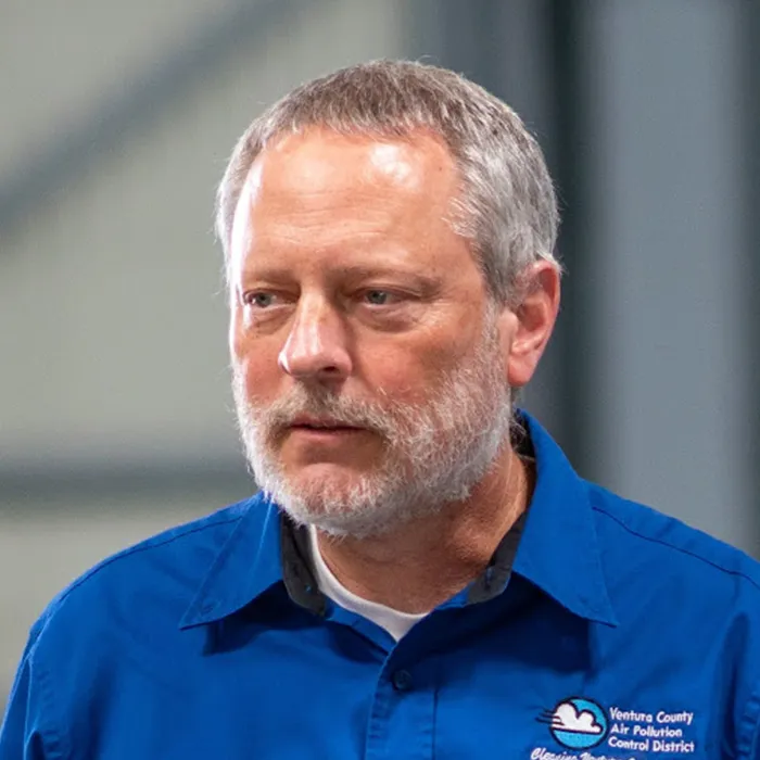
Tyler Harris
Planning, Rules, and Incentives Division Manager, Ventura County Air Pollution Control District (VCAPCD)
Tyler has been involved in BWBS since 2014, when VCAPCD joined the pilot program. He has over 30 years of experience in environmental science and engineering. Nine were focused on water quality and biodegradation testing of industrial chemicals and the remainder have been in air quality, mostly at local regulatory agencies. BWBS is his favorite program among all those he has worked on by far, having given him the opportunity to meet this fine team while actually saving endangered whales. Contact: tyler@vcapcd.org
-

Andy Mutziger
Planning & Grants Manager, San Luis Obispo County Air Pollution Control District
Andy and his agency’s Public Information Officer, Meghan Field, collaborate to provide local and regional outreach that conveys the many benefits and successes of the BWBS VSR Program. He helps ensure BWBS air pollution and fuel savings benefits are accurate and clearly reported. He also facilitates his agency’s support for BWBS funding, VSR zone and program ambassador expansions, and legislation that promotes the BWBS program.
-

Alex Economou
Planning Division Manager, Santa Barbara County Air Pollution Control District
Alex Economou is the Planning Division Manager of the Santa Barbara County Air Pollution Control District. In his role, he manages the activities of the District’s Planning Division, which is responsible for air quality planning, compiling the District’s emission inventory, rule development, coordination with local planning agencies, grant and incentive programs, education programs, and ambient air monitoring. Alex has been involved with the Protecting Blue Whales and Blue Skies program since 2022 and has worked on several initiatives to promote vessel speed reduction from ocean-going vessels and expand the BWBS program. He has worked for the District since 2016 and holds Bachelor of Science degrees in Environmental Studies and Business Administration from the University of Oregon.
-
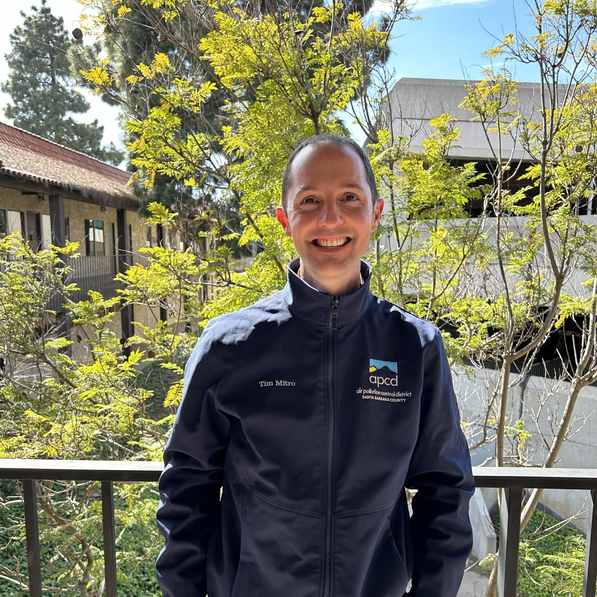
Timothy Mitro
Air Quality Engineer in the Planning Division, Santa Barbara County Air Pollution Control District
Timothy Mitro is an Air Quality Engineer in the Planning Division at the Santa Barbara County Air Pollution Control District. Over the past decade, he has been involved in the District’s efforts to accurately assess and quantify the marine shipping emissions from the BWBS program and from all other ocean-going vessel activities on the West Coast. Timothy helps compile the District’s emission inventory for all sources of air pollution and he coordinates the local rule development proceedings to comply with state and federal laws. Prior to his work at the District, he spent six years working at Feather River Air Quality Management District with a focus on permitting stationary sources of air pollution. Timothy holds a Bachelor of Science degree in Environmental Engineering from Cal Poly, San Luis Obispo.
-

Lyz Bantilan
Public Information Officer, Santa Barbara County Air Pollution Control District
Lyz Bantilan is the Public Information Officer for the Santa Barbara County Air Pollution Control District. In this role, she manages the District’s outreach efforts, including its website, social media accounts, news releases and e-newsletter, Air Quality Alerts, prescribed burn notifications, graphic design, media response, and interagency partnerships related to outreach and public information – including the Protecting Blue Whales and Blue Skies program. She has worked for the District since 2015; prior to this role, she worked as a local newspaper reporter. She holds a Master’s degree in Journalism from Northwestern University and a Bachelor’s degree in English, with a minor in Professional Writing and Editing, from UC Santa Barbara.
-

Dr. Anna Nisi
Postdoctoral Researcher, University of Washington
Dr. Anna Nisi is a quantitative marine ecologist in the Center for Ecosystem Sentinels at the University of Washington. Anna’s research focuses on modeling and mapping whale habitat suitability and whale-ship collision risk, with the aim of informing strategies to reduce collisions. Anna provides analytical support for the BWBS program through calculating ship-strike risk reduction benefits associated with vessel speed reduction and developing higher-resolution habitat suitability and ship-strike risk models for this region.
-

David Frisbey
Planning and Air Monitoring Manager, Monterey Bay Air Resources District
Over the course of a 35-year career in air quality management Dave has worked towards improving community health through regulating air emissions from industry, developing and implementing incentive programs to reduce emissions from motor vehicles, and curtailing smoke production from controlled burning. Dave is committed to working with the BWBS team to achieve further benefits of reduced air pollution along the California coast with the dual purpose of protecting whales.
-

Karin Grennan
Public Information Officer, Ventura County Air Pollution Control District
Karin has been spreading the word about air quality in her current position since 2023. She previously spent a total of 16 years in communication roles at California Lutheran University and California State University Channel Islands. During her first career as a reporter, she wrote for the Ventura County Star, Los Angeles Times, Santa Maria Times and Santa Clarita Valley Signal. She earned a bachelor’s degree in journalism and a psychology minor from California Polytechnic State University, San Luis Obispo.
-
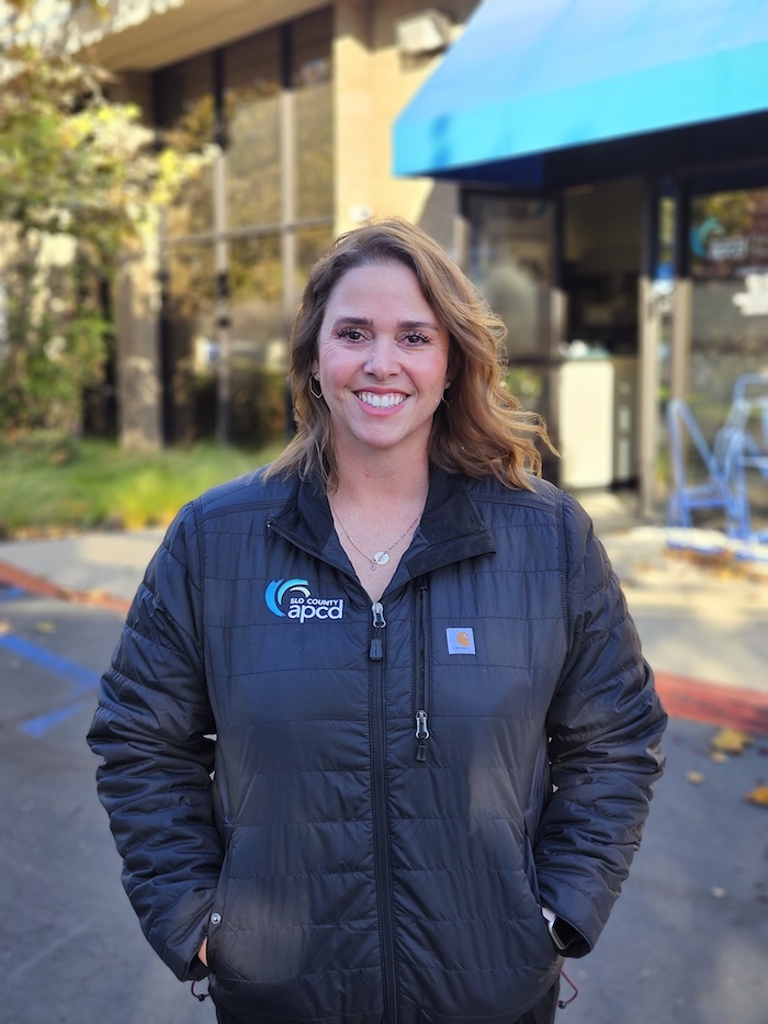
Meghan Field
Public Information Officer & Air Quality Specialist, San Luis Obispo County Air Pollution Control District
Meghan Field is the Public Information Officer and an Air Quality Specialist for the San Luis Obispo County Air Pollution Control District. She blends almost 2 decades of environmental expertise with a passion for communicating. Whether coordinating emergency communications, designing outreach campaigns, or collaborating with regional partners, Meghan is dedicated to safeguarding public health and the environment and is proud to partner with BWBS to protect not only these incredible marine giants, but also the air we all breathe.
-
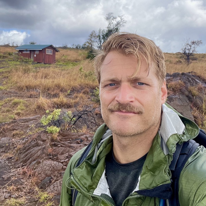
Monte DiPalma
Senior Engineer, Bay Area Air District Climate Protection Section
Monte is a Senior Engineer at the Bay Area Air District and his work focuses on reducing climate impacts from the transportation sector.
-

Dr. Lee Kindberg
Consultant, Starcrest Consulting Group
Dr. Lee Kindberg was Head of Environment and Sustainability for A.P. Moller-Maersk (Maersk) in North America, managing environmental policies and compliance, customer and stakeholder partnerships on sustainability and decarbonization, and strategic initiatives. She retired in 2024 after 19 years of service and currently consults with Starcrest Consulting Group where she is involved in maritime environmental and decarbonization projects for Port Authorities and the International Maritime Organization.
-

Anastasia Kunz
Marine Resource Protection Program Coordinator, California Marine Sanctuary Foundation
Anastasia supports the California Marine Sanctuary Foundation’s Marine Resource Protection Team and maintains a NOAA affiliation through the Office of National Marine Sanctuaries, focusing on whale conservation along the U.S. West Coast. Her work centers on understanding whale population dynamics and presence in the Santa Barbara Channel and beyond through a multidisciplinary, data-driven approach. She manages the Large Aerial Whale Survey Program and leads spatiotemporal analyses across multiple data sources, including Whale Alert, and industry-reported sightings from commercial vessels. Anastasia is also involved in a pilot project using very high-resolution satellite imagery to detect whales from space, and contributes to NOAA’s sound monitoring efforts by supporting the collection and processing of passive acoustic data to better understand ocean soundscapes.
-
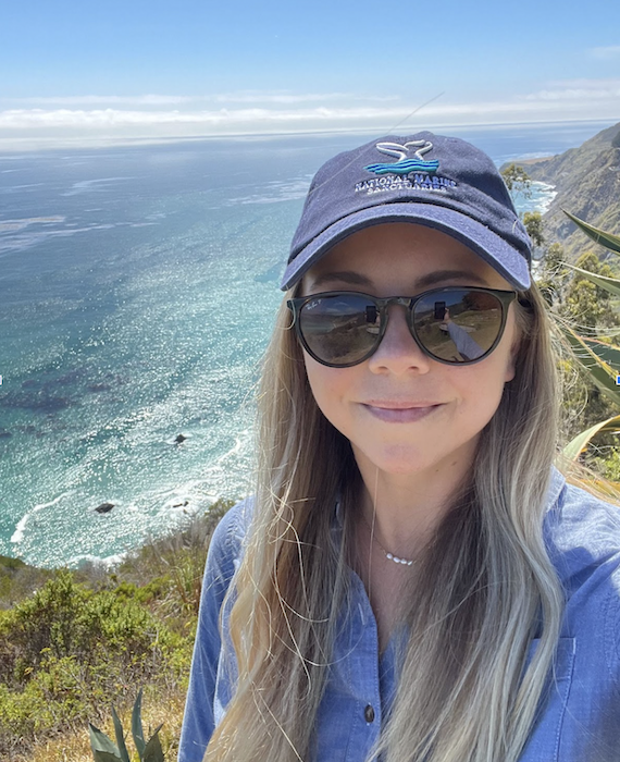
Laura Ingulsrud
Policy Analyst, NOAA Office of National Marine Sanctuaries West Coast Region
Laura Ingulsrud joined NOAA’s Office of National Marine Sanctuaries (ONMS) as Policy Analyst for the West Coast Regional Office (WCRO) in 2022. She supports all six west coast national marine sanctuaries, especially on resource protection (including whale conservation), policy, management, fisheries coordination, and large-scale conservation issues. Laura has a background in vessel strike work and in her current role, provides support for BWBS on behalf of the WCRO, including liaising with the ONMS West Coast Regional Director.
Contact: laura.ingulsrud@noaa.gov

